Land Surveying:
Topographic Surveys
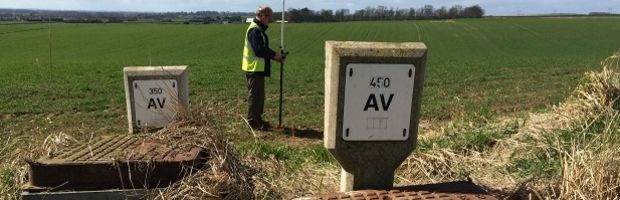
We provide dimensionally accurate digital drawings that spatially represent the above ground environment. This includes the position of features such as buildings, kerbs, street furniture, manhole covers, valves, vegetation. The information is recorded alongside spot levels for elevations to enable a 3-D representation of the survey area. Topographic Surveys are presented at a range of standard scales tailored to the requirements of the Client.